SHOP RIDES & TEST TRACK
Narragansett Thursday Road Ride
Strava Route Link for the shop ride
Casual Cafe' Ride
Training Rides/Races
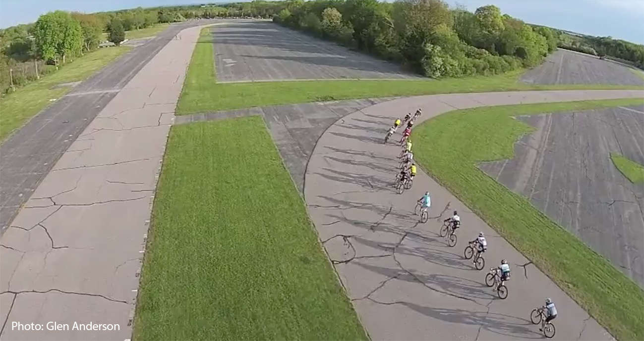
NBX's Test/Demo Track
Before participating on the track, you (or your parents, if under 18 ) MUST complete and sign the required document using the button below. You only have to sign it once per season. Upon which, check-in is required before riding the track.
IJAH Group Rides & Events
Proudly powered by NBX Bikes
South Country Bike Path
The South County Bike Path, also known as the William C. O'Neill Bike Path, is the state's fourth-longest bike path, stretching 7.8 miles from Kingston Station in the village of West Kingston in South Kingstown to Mumford Road in Narragansett. The path connects to on-road routes for access to the Narragansett shoreline. Get Map »
Construction History
The bikeway has been built in three phases since 2000.
Path Features & Riding Experience
The path is largely built on the former right-of-way of the Narragansett Pier Railroad, which dates back to 1876. After railroad operations ceased in the late 1960s, many ideas were considered for the corridor. The late Senator William C. O'Neill was instrumental in advocating for the railroad's re-use as a bike path to make it safer for children to ride a bike to school.
As the path follows the former rail corridor, it is mostly flat with a gradual slope down heading from west to east.
Parking Information
Directions to public parking along the bike path.